THE CARTOGRAPHER
Over the past decade, the Geospatial data processing industry has evolved through varied technologies (GIS, LiDAR, 3D, Mapping among others). The enormous potential of data visualisations that each of these domains individually possesses is being harnessed and realised across Earth Science, Urban Development, Science and Technology, Telecommunications, Environment, Forestry, Climate Change, Tourism, Ecological Surveys in Government, Semi-Government (both Regional and International) with large scale departments such as Roads and Highways, Irrigation, Rural Development, Surveys, Skill Development and Entrepreneurship.
OUR SERVICES
The Cartographer is providing best solution through Processing, Interpretation and Analysis Geo-spatial Information. We are dedicated to provide easy & advance solution using GIS based intelligence. Our various software like Q, GIS, ArcGIS, ERDAS, Pix4D, AGIS
ABOUT US
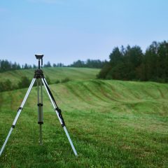
We are masters in advanced mapping, survey and geospatial services. We deliver expert services in the geographical information system (GIS) and geospatial engineering domain. We endeavour to use technology to bring out new operational efficiency to the activities of land, survey and management, body demarcation, survey and mapping utilities, road and railway survey and mapping, navigation and point of interest (POI) collection, urban planning and management, power and telecom utility distribution management, natural resource management, rural development, spatial data infrastructure, tourism, navigational solutions etc.
OUR MISSION
Our confidence and capacity provide the client, with the best GIS information technology solutions to make their business successful. To develop scientific temper, build the capacity of intellectual enquiry and keen observation among people, especially targeting the younger generation.
OUR VISION
To be the leader in the field of geospatial services and education in India. To establish a unique identity for the development of high quality human and knowledge resources in a diverse area of technology and management.
WE DEAL IN
